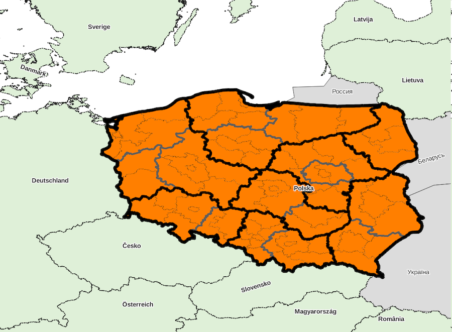
Administrative divisions, country «Poland»
Identifiant: PL, code ISO: PL, code Geonames: 798544, code OpenStreetMap: R49715, code Wikidata: Q36
Unique local geographical referential: ETRS89 / Poland CS92 [EPSG 2180, commune x 2,479]
Quantities by sublevel: super-région x 6, région x 16, département x 72, commune x 2,479
External referral rate of communes: Geonames 0 %, OpenStreetMap 0 %, Wikidata 0 %, neither 100 %
DIVISIONS ADMINISTRATIVES
- super-régions (NUTS 1) : regiony
- régions (NUTS 2) : województwa
- départements (NUTS 3) : podregiony
- communes (UAL 2) : gminy
SOURCES
- Eurostat NUTS
http://ec.europa.eu/eurostat/web/nuts/
- Główny Urząd Statystyczny
http://stat.gov.pl/
Super-region list for country «Poland»
Download with format CSV for spreadsheet or simple, XLSX, XLS, ODS
| ID | NOM | ASCII | GNM | OSM | WD | X_WGS84 | Y_WGS84 | ISO | ID_LOCAL | NB_REG | NB_DEP | NB_COMM | INFO |
|---|---|---|---|---|---|---|---|---|---|---|---|---|---|
| ID | NOM | ASCII | GNM | OSM | WD | X_WGS84 | Y_WGS84 | ISO | ID_LOCAL | NB_REG | NB_DEP | NB_COMM | INFO |
| PL1 | Region Centralny | REGION CENTRALNY | - | - | - | 0 | 0 | - | - | 2 | 13 | 491 | |
| PL4 | Region Północno-Zachodni | REGION POLNOCNO ZACHODNI | - | - | - | 0 | 0 | - | - | 3 | 12 | 423 | |
| PL6 | Region Północny | REGION POLNOCNY | - | - | - | 0 | 0 | - | - | 3 | 13 | 383 | |
| PL5 | Region Południowo-Zachodni | REGION POLUDNIOWO ZACHODNI | - | - | - | 0 | 0 | - | - | 2 | 7 | 240 | |
| PL2 | Region Południowy | REGION POLUDNIOWY | - | - | - | 0 | 0 | - | - | 2 | 14 | 349 | |
| PL3 | Region Wschodni | REGION WSCHODNI | - | - | - | 0 | 0 | - | - | 4 | 13 | 593 |
Downloading country data
Database content, in format CSV for spreadsheet or simple, XLSX, XLS, ODS
(please choose CSV format if data volume is too large for other formats)
SIG layers of administrative division: ZIP archive
