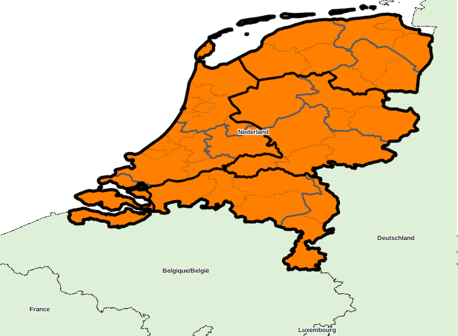
Administrative divisions, country «Netherlands»
Identifiant: NL, code ISO: NL, code Geonames: 2750405, code OpenStreetMap: R2323309, code Wikidata: Q55
Unique local geographical referential: Amersfoort / RD Old [EPSG 28991, commune x 434]
Quantities by sublevel: super-région x 4, région x 12, département x 40, commune x 434
External referral rate of communes: Geonames 0 %, OpenStreetMap 0 %, Wikidata 0 %, neither 100 %
DIVISIONS ADMINISTRATIVES
- super-régions (NUTS 1) : Landsdelen
- régions (NUTS 2) : Provincies
- départements (NUTS 3) : COROP regio’s
- communes (UAL 2) : Gemeenten
SOURCES
- Eurostat NUTS
http://ec.europa.eu/eurostat/web/nuts/
- Centraak Bureau voor de Statistiek
http://www.cbs.nl/nl-NL/menu/home/default.htm
http://www.cbs.nl/NR/rdonlyres/2AE34B78-83C8-4F44-BA3E-8E972AD14AA5/0/2001bevolkingskernentoelichting.pdf
http://www.cbs.nl/NR/rdonlyres/3B83524C-C141-4607-81F6-F175B30B9966/0/2011Hetmiddenenkleinbedrijfnaarregiowebversieart.pdf
- Wikipedia Nederland
https://nl.wikipedia.org/
Super-region list for country «Netherlands»
Download with format CSV for spreadsheet or simple, XLSX, XLS, ODS
| ID | NOM | ASCII | GNM | OSM | WD | X_WGS84 | Y_WGS84 | ISO | ID_LOCAL | NB_REG | NB_DEP | NB_COMM | INFO |
|---|---|---|---|---|---|---|---|---|---|---|---|---|---|
| ID | NOM | ASCII | GNM | OSM | WD | X_WGS84 | Y_WGS84 | ISO | ID_LOCAL | NB_REG | NB_DEP | NB_COMM | INFO |
| NL1 | Noord-Nederland | NOORD NEDERLAND | - | - | - | 0 | 0 | - | - | 3 | 9 | 68 | |
| NL2 | Oost-Nederland | OOST NEDERLAND | - | - | - | 0 | 0 | - | - | 3 | 8 | 87 | |
| NL3 | West-Nederland | WEST NEDERLAND | - | - | - | 0 | 0 | - | - | 4 | 16 | 178 | |
| NL4 | Zuid-Nederland | ZUID NEDERLAND | - | - | - | 0 | 0 | - | - | 2 | 7 | 101 |
Downloading country data
Database content, in format CSV for spreadsheet or simple, XLSX, XLS, ODS
(please choose CSV format if data volume is too large for other formats)
SIG layers of administrative division: ZIP archive
