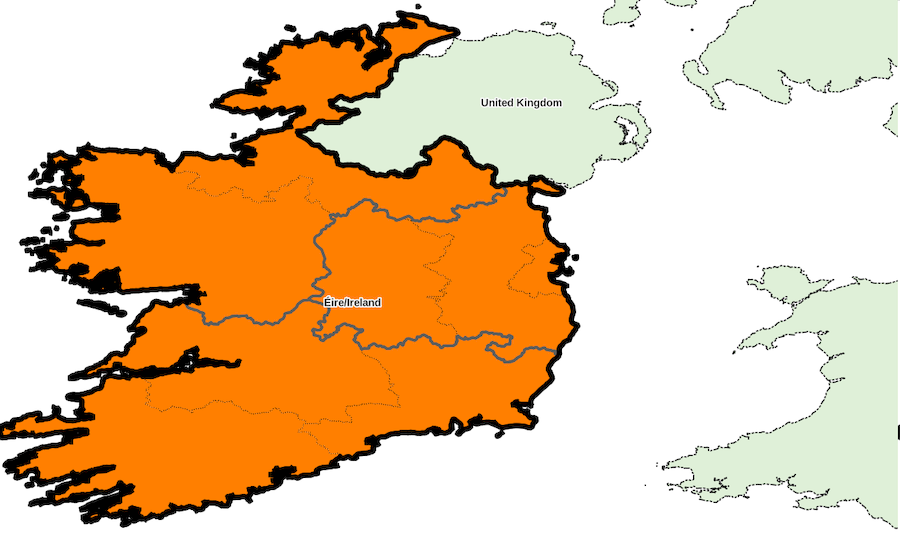
Administrative divisions, country «Ireland»
Identifiant: IE, code ISO: IE, code Geonames: 2963597, code OpenStreetMap: R62273, code Wikidata: Q27
Unique local geographical referential: TM75 / Irish Grid [EPSG 29903, commune x 3,441]
Quantities by sublevel: super-région x 1, région x 2, département x 8, commune x 3,441
External referral rate of communes: Geonames 0 %, OpenStreetMap 0 %, Wikidata 0 %, neither 100 %
DIVISIONS ADMINISTRATIVES
- régions (NUTS 2) : Regions
- départements (NUTS 3) : Regional Authority Regions
- communes (UAL 2) : Electoral Districts
SOURCES
- Eurostat NUTS
http://ec.europa.eu/eurostat/web/nuts/
- Central Statistics Office
http://www.cso.ie/en/
MISE A JOUR
03/2024
Super-region list for country «Ireland»
Download with format CSV for spreadsheet or simple, XLSX, XLS, ODS
| ID | NOM | ASCII | GNM | OSM | WD | X_WGS84 | Y_WGS84 | ISO | ID_LOCAL | NB_REG | NB_DEP | NB_COMM | INFO |
|---|---|---|---|---|---|---|---|---|---|---|---|---|---|
| ID | NOM | ASCII | GNM | OSM | WD | X_WGS84 | Y_WGS84 | ISO | ID_LOCAL | NB_REG | NB_DEP | NB_COMM | INFO |
| IE0 | Éire/Ireland | EIRE/IRELAND | - | - | - | -7.98 | 52.87 | - | - | 2 | 8 | 3,441 |
Downloading country data
Database content, in format CSV for spreadsheet or simple, XLSX, XLS, ODS
(please choose CSV format if data volume is too large for other formats)
SIG layers of administrative division: ZIP archive
