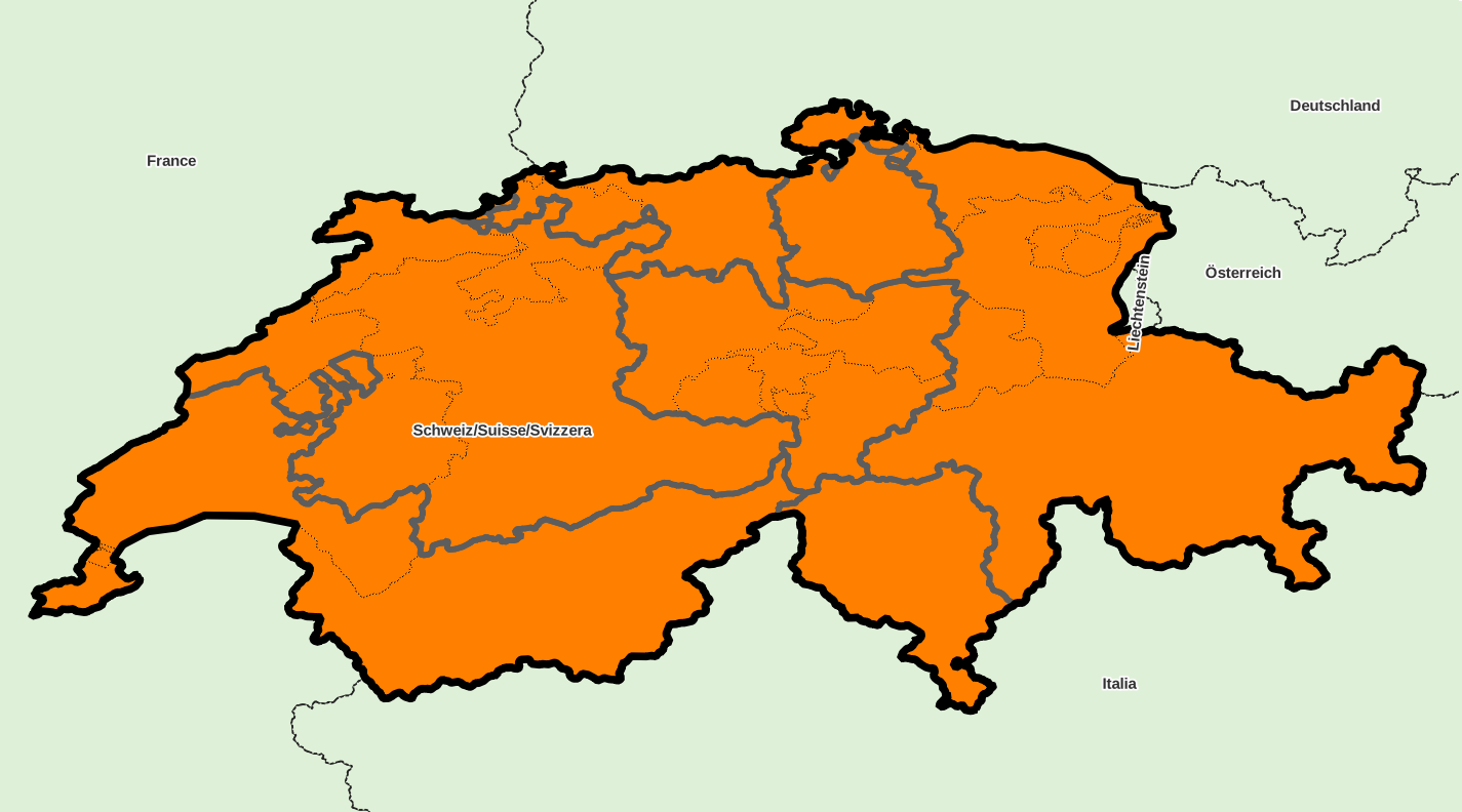
Administrative divisions, country «Switzerland»
Identifiant: CH, code ISO: CH, code Geonames: 2658434, code OpenStreetMap: R51701, code Wikidata: Q39
Unique local geographical referential: CH 1903 [EPSG 21781, commune x 2,416]
Quantities by sublevel: super-région x 1, région x 7, département x 26, commune x 2,416
External referral rate of communes: Geonames 82.9 %, OpenStreetMap 87.7 %, Wikidata 87.7 %, neither 7.5 %
DIVISIONS ADMINISTRATIVES
- régions (NUTS 2) : grandes régions
- départements (NUTS 3) : cantons
- communes (UAL 2) : communes
SOURCES
- Eurostat NUTS
http://ec.europa.eu/eurostat/web/nuts/
- Portail statistique suisse de l'Office fédéral de la statistique (OFS)
http://www.bfs.admin.ch/
http://www.portal-stat.admin.ch/gde-tool/core/xshared/gewo.php?lng=fr-fr
- Office fédéral de topographie Swisstopo
http://www.toposhop.admin.ch/
MISE A JOUR
03/2024
Super-region list for country «Switzerland»
Download with format CSV for spreadsheet or simple, XLSX, XLS, ODS
| ID | NOM | ASCII | GNM | OSM | WD | X_WGS84 | Y_WGS84 | ISO | ID_LOCAL | NB_REG | NB_DEP | NB_COMM | INFO |
|---|---|---|---|---|---|---|---|---|---|---|---|---|---|
| ID | NOM | ASCII | GNM | OSM | WD | X_WGS84 | Y_WGS84 | ISO | ID_LOCAL | NB_REG | NB_DEP | NB_COMM | INFO |
| CH0 | Schweiz/Suisse/Svizzera | SCHWEIZ/SUISSE/SVIZZERA | - | - | - | 8.23 | 46.8 | - | - | 7 | 26 | 2,416 |
Downloading country data
Database content, in format CSV for spreadsheet or simple, XLSX, XLS, ODS
(please choose CSV format if data volume is too large for other formats)
SIG layers of administrative division: ZIP archive
