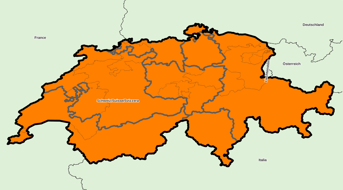
Découpage administratif, pays « Suisse »
Identifiant : CH, code ISO : CH, code Geonames : 2658434, code OpenStreetMap : R51701, code Wikidata : Q39
Référentiel géographique local unique : CH 1903 [EPSG 21781, commune x 2 416]
Effectifs par sous-niveau : super-région x 1, région x 7, département x 26, commune x 2 416
Taux de référencement externe des communes : Geonames 82,9 %, OpenStreetMap 87,7 %, Wikidata 87,7 %, aucun 7,5 %
DIVISIONS ADMINISTRATIVES
- régions (NUTS 2) : grandes régions
- départements (NUTS 3) : cantons
- communes (UAL 2) : communes
SOURCES
- Eurostat NUTS
http://ec.europa.eu/eurostat/web/nuts/
- Portail statistique suisse de l'Office fédéral de la statistique (OFS)
http://www.bfs.admin.ch/
http://www.portal-stat.admin.ch/gde-tool/core/xshared/gewo.php?lng=fr-fr
- Office fédéral de topographie Swisstopo
http://www.toposhop.admin.ch/
MISE A JOUR
03/2024
Liste des super-régions du pays « Suisse »
Téléchargement au format CSV pour tableur ou ordinaire, XLSX, XLS, ODS
| ID | NOM | ASCII | GNM | OSM | WD | X_WGS84 | Y_WGS84 | ISO | ID_LOCAL | NB_REG | NB_DEP | NB_COMM | INFO |
|---|---|---|---|---|---|---|---|---|---|---|---|---|---|
| ID | NOM | ASCII | GNM | OSM | WD | X_WGS84 | Y_WGS84 | ISO | ID_LOCAL | NB_REG | NB_DEP | NB_COMM | INFO |
| CH0 | Schweiz/Suisse/Svizzera | SCHWEIZ/SUISSE/SVIZZERA | - | - | - | 8,23 | 46,8 | - | - | 7 | 26 | 2 416 |
Téléchargement des données du pays
Contenu des tables de la base, au format CSV pour tableur ou ordinaire, XLSX, XLS, ODS
(choisir le format CSV en cas de volume de données trop important pour les autres formats)
Couches pour SIG du découpage administratif : archive au format ZIP
