Welcome to ArcheoLocalis online
![]()
![]()
This database describes communes on an international scale. The objective is to facilitate the realization of distribution maps, especially in archaeology. It includes progressively most of the European countries with a planned extension to Central Asia.
This dataset is based on the Nomenclature of Territorial Units of the European Union (NUTS). Each commune is located in a 2 or 3 level administrative division within its country. It is located by a central point (its geographic center or otherwise the administrative center) in WGS 84 and according to a local geographical referencial, with an approximate accuracy of the order of a kilometer.
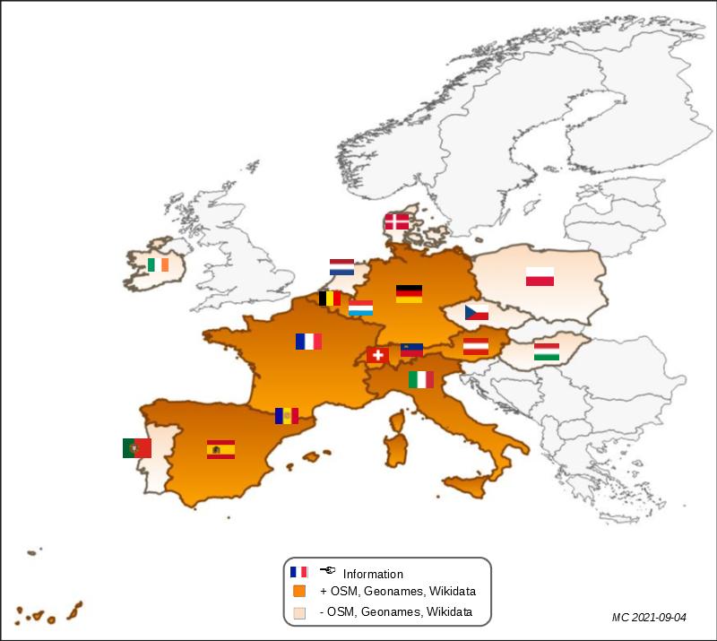
Whenever possible, the description includes references to international nomenclatures (ISO, Geonames, OpenStreetMap, Wikidata), providing additional metadata. The database contains not only the current communes, but also if possible, those that have disappeared by separation or integration into another commune (with an explicit indication in its description).
These public data are freely available under the French open licence.
Menu:
- Divisions: information about administrative divisions (country, super-region NUTS 1, region NUTS 2, district NUTS 3)
- Communes: information about communes with search by name, administrative level, coordinates ou national code
- Documentation: information about database